Karakoram
Also: Karakoram range, Krishnagiri, K2, Karakoram Pass
Background and evolution
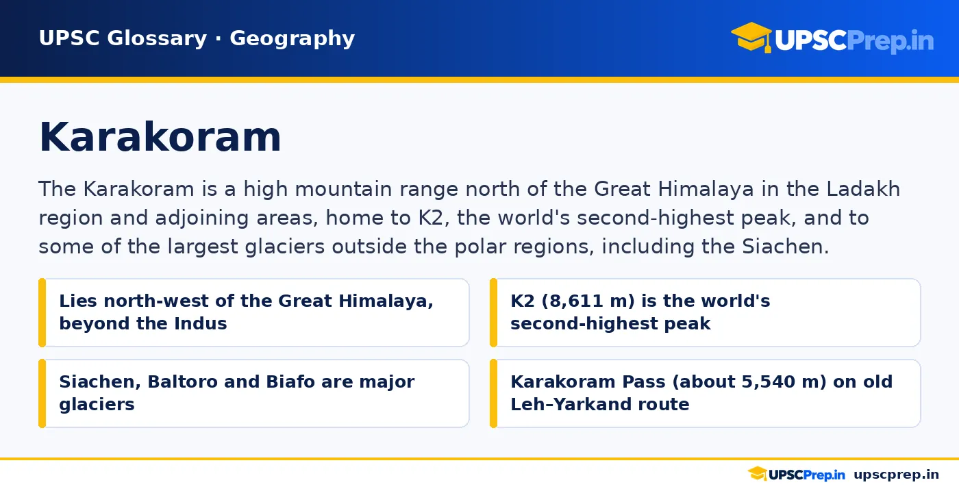
The Karakoram forms part of the great mountain knot where the Himalaya, Hindu Kush, Pamir and Kunlun ranges meet. It stretches roughly from the Gilgit area in the west to the Shyok and Nubra valleys of Ladakh in the east, separated from the Himalaya by the Indus–Shyok valleys and bounded to the north by the Tarim basin region. Like the Himalaya, it was raised by the collision of the Indian plate with Eurasia, but it includes older terrains welded onto Asia before the main collision, and it is cut by the Karakoram Fault, a major strike-slip fault.
The range contains four of the world's fourteen peaks over 8,000 m, including K2, Gasherbrum I, Broad Peak and Gasherbrum II, all in the part administered by Pakistan, which India considers part of its territory. Its name is often said to come from Turkic words meaning "black gravel". For centuries, caravans crossed the Karakoram Pass between Leh and Yarkand in Xinjiang carrying wool, silk, salt and other goods. In India's official geography, the Karakoram is sometimes called Krishnagiri, and the Ladakh and Zaskar ranges lie to its south.
You've read your 3 free glossary pages this month
Create a free account to read 5 full pages a month, or upgrade for unlimited access. The definition above, the A–Z index and the pop-up definitions in lessons stay free.
Last reviewed: 23 October 2026 · Original UPSCPrep.in content.