Geography Top 10
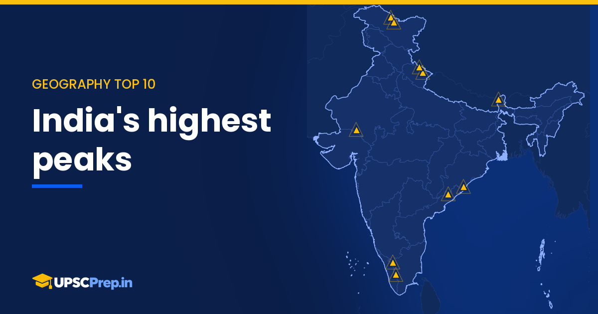
Top 10 highest peaks of India on our map
From K2 at 8,611 m to Mahendragiri in the Eastern Ghats – India's highest points, with heights from our map data.
28 Oct 2026 · 1 min readYou have read your free pages as a guest. A free account keeps every text lesson, the forum and the blog open – it takes a minute.
Ranked lists of peaks, dams, lakes and rivers from our India Map Explorer.
From K2 at 8,611 m to Mahendragiri in the Eastern Ghats – India's highest points, with heights from our map data.
28 Oct 2026 · 1 min read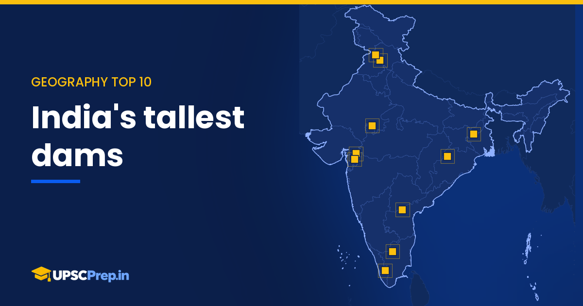
Bhakra stands tallest at about 226 m, followed by Idukki and Sardar Sarovar. Heights and rivers for the top ten dams on our map.
27 Oct 2026 · 1 min read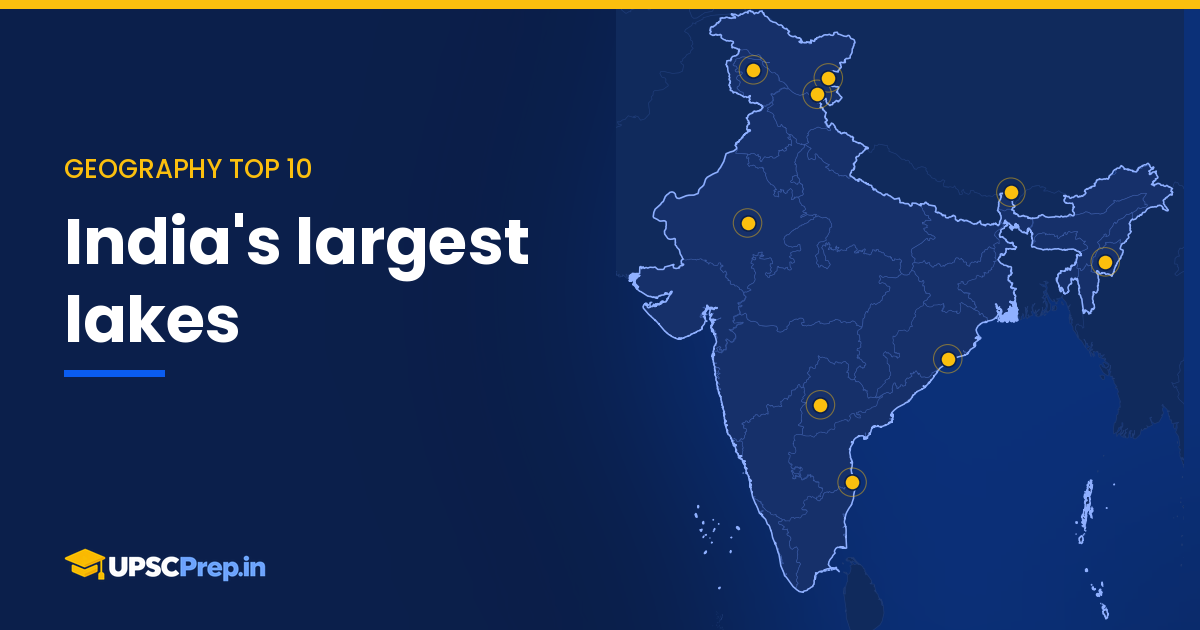
Chilika covers about 1,165 km², far ahead of Pangong Tso and Pulicat. The nine lakes on our map with an area on record.
26 Oct 2026 · 1 min read