Top 10 highest peaks of India on our map
From K2 at 8,611 m to Mahendragiri in the Eastern Ghats – India's highest points, with heights from our map data.
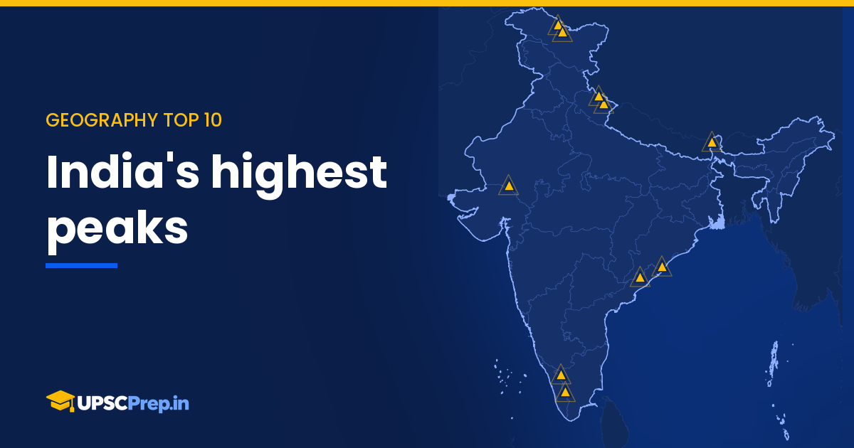
Our map lists the peaks most often asked about in exams, from the Karakoram down to the hills of the peninsula. Ranked by height, the first five are Himalayan and Karakoram giants; the second five are the highest points of the southern and western ranges.
Source: UPSCPrep Data Atlas
Loading map…
India map in the official boundary; positions are for orientation · Source: UPSCPrep Data Atlas
The big five
K2 (Godwin-Austen) in the Karakoram, at about 8,611 m, is the highest peak in India as per India's official map. Kangchenjunga (8,586 m) on the Sikkim–Nepal border is the third-highest in the world. Nanda Devi (7,816 m) in Garhwal is the highest peak lying wholly within India. Kamet (7,756 m) and Saltoro Kangri (7,742 m) complete the five.
The peninsular highs
Anamudi (2,695 m) – the highest peak of peninsular India – Doddabetta (2,637 m) in the Nilgiris, Guru Shikhar (1,722 m) in the Aravallis, Arma Konda (1,680 m) and Mahendragiri (1,501 m) in the Eastern Ghats.
UPSC angle
- Match peak to range: a favourite one-liner question.
- Know the "highest in" records: India, wholly within India, peninsula, Aravallis.
- Nanda Devi has appeared in Prelims questions in our bank; the others are standard map-reading material.